Mapping Confederate Memory in Mobile
"The past is never dead. It's not even past." -- William Faulkner
This Alabama Humanities Alliance project seeks to provide a historically contextualized account of Mobile's confederate monuments and memorial spaces in order to help the people of Mobile engage in informed and respectful conversations about the fate of these monuments. The research for this project was conducted largely by students under the direction of David Messenger of the History Department.
Mapping the Monuments
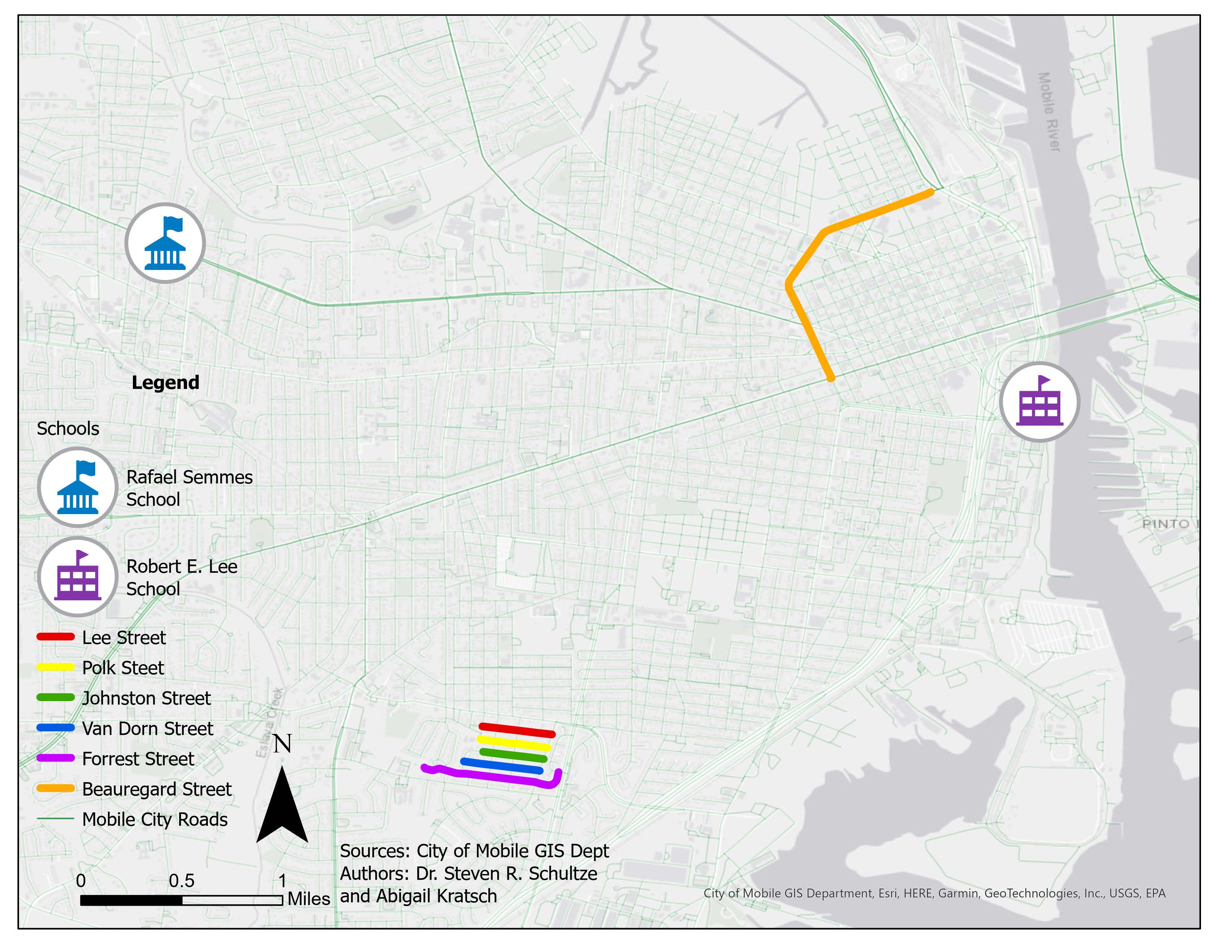
Click on the static map image below to launch the interactive map produced by students at USA's GIS lab under the direction of Steven Schultze of the Department of Earth Sciences
Exhibit Audio Tour
Mapping Confederate Memory
Mapping Confederate memory in Mobile.
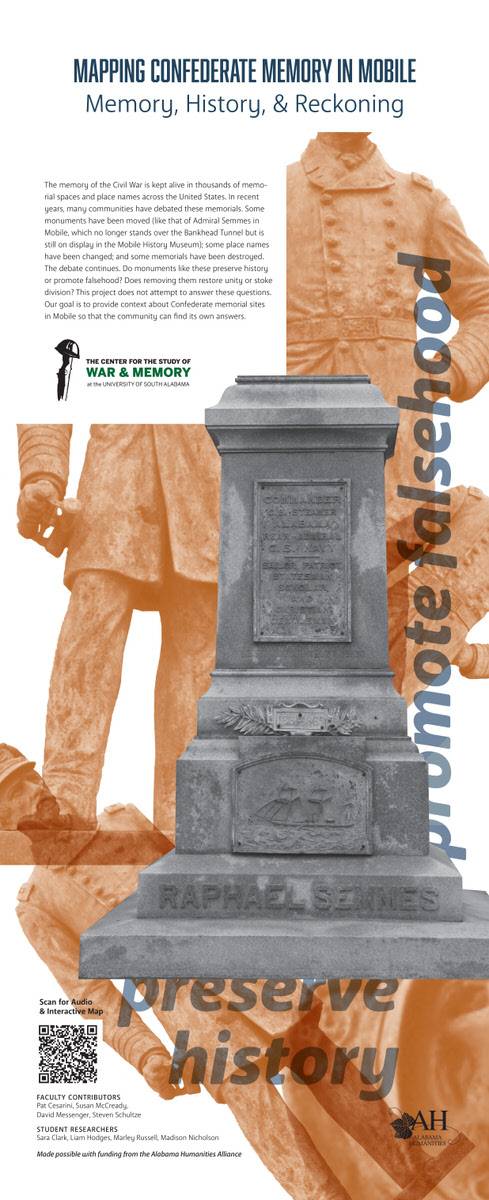
Memory, history, and reckoning. The memory of the Civil War is kept alive in thousands
of memorial spaces in place names across the United States. In recent years, many
communities have debated these memorials. Some monuments have been moved, like that
of Admiral Sims in Mobile, which no longer stands over the Bankhead Tunnel, but it
is still on display in the Mobile History Museum. Some place names have been changed,
and some memorials have been destroyed.
The debate continues: do monuments like these preserve history or promote falsehood? Does removing them restore unity or stoke division? This project does not attempt to answer these questions. Our goal is to provide context about Confederate memorial sites in Mobile so that the community can find its own answers.
The Maryville Neighborhood
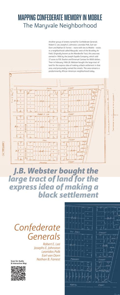
The Maryville Neighborhood, another group of streets named for Confederate generals: Robert D. Lee, Joseph E. Johnston, Leonidas Polk, Earl Van Dorn, and Nathan B. Forrest, none with ties to Mobile, exists in a neighborhood called Maryville, west of the Brookley airfield. Originally known as the Mandeville tract, this area was owned in 1906 by the Joseph Espalla Company, which sold 27 acres to Phoebe Dolan and Emmanuel Kineas for $8,000, and then in February 1906, J. B. Webster bought a large tract of land for the express idea of making a Black settlement in that area, and presumably he named the streets. The area remains a predominantly African-American neighborhood today.
Schools
Schools.
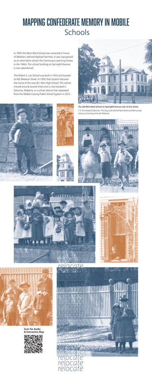
In 1909, the West Ward School was renamed in honor of a Mobilian admiral, Raphael
Semmes. It was repurposed as an alternative school, the Continuous Learning Center,
in the 1960s. The school building on Spring Hill Avenue is now abandoned. The Robert
E. Lee School was built in 1922 and located at 405 Madison St. In 1959, that location
became the home of the new B. C. Rain High School. The school moved around several
times and is now located in Satsuma, Alabama, in a school district that separated
from the Mobile county public school system in 2012.
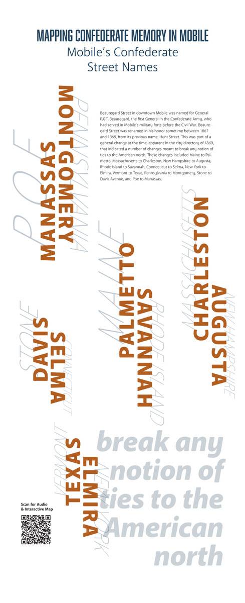
Mobile's Confederate Street Names.
Mobile's Confederate Street Names.
Bogard Street in downtown Mobile was named for General P. G. T. Beauregard, the first
general in the Confederate Army, which served in Mobile's military forts before the
Civil War.
Olivegard St. was named in his honor sometime between 1867 and 1869, from its previous
name, Hunt Street. This was part of a general change of the time, apparent in the
city directory of 1869. It indicated a number of changes meant to break any notion
of ties to the American North. These changes included Maine to Palmetto, Massachusetts
to Charleston, New Hampshire to Augusta, Rhode Island to Savannah, Connecticut to
Selma, New York to Elmira, Vermont to Texas, Pennsylvania to Montgomery, Stone to
Davis Avenue, and Po to Manassas.
Podcasts

